

InSpiteOfGravity
Aerial photography, mapping, inspections
Knowledge is gained by data from many perspectives. Your knowledge of the objects you care about is improved by viewing from all perspectives, including those previously unavailable. Whether it is the home you are marketing, the land you are purchasing, the roof you are repairing or the tower you are evaluating, we can help you make solid business decisions by providing that unique perspective from above.

How We Can Help
The world of photography has changed dramatically over the past several years. Cameras have increased in quality and decreased in size. At the same time, unmanned aerial vehicles (drones) have become more reliable and powerful. These two technology evolutions allow us to provide a unique and very cost effective set of services for you and your business.
Services
Residential Photography
Your Competitive Edge
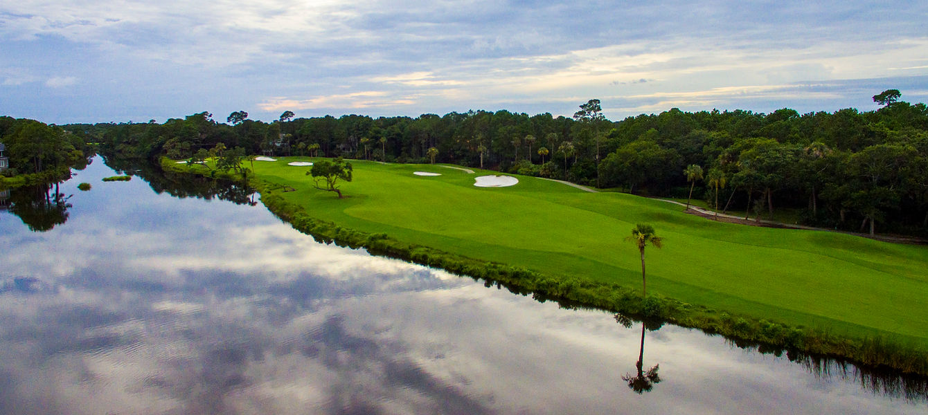
Enhance your marketing presence by providing views of properties from all perspectives. Aerial still shots, neighborhood overviews and property videos all help to make your listings standout and catch a potential buyer's eye.


Mapping and Modeling
Precision Imagery
By mapping and modeling properties, construction projects and agricultural areas you are able to closely monitor and measure for progress and changes. Orthomosiac images, volumetric calculations, 3D model generation and vegitation analysis will provide you with the information needed to make sounds business decisions.
Inspections
See the Details
Avoid the cost and liability of climbing roofs, poles and towers by looking for potential issues with high resolution aerial photography. Inspections of an object can be done one time or as a subscription with the frequency you determine.


Rusted Vent

Flashing Examination


